Is your commute the make-or-break factor in choosing between Saugus and Canyon Country? You are not alone. In Santa Clarita, a few miles can change your daily drive or rail ride in a big way. This guide simplifies how each area fits common commute patterns so you can choose with confidence. You will learn the key routes, transit options, and practical steps to test a specific address before you buy. Let’s dive in.
Orientation: where you will go
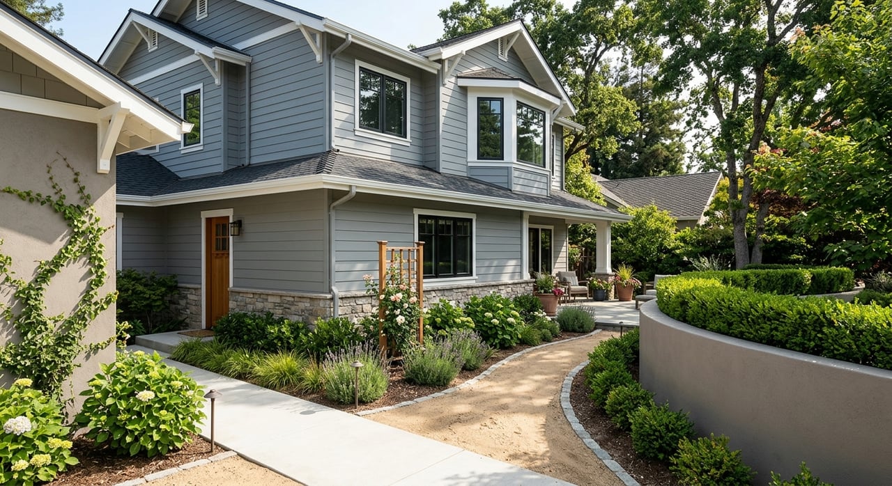
Saugus and Canyon Country sit side by side in the City of Santa Clarita. Saugus is more central and west, while Canyon Country is to the east. Valencia and Newhall are just west and southwest of Saugus.
Residents work all over. Many jobs are inside Santa Clarita in Valencia business parks, retail, education, health care, and public sector roles. Others commute to regional job centers like Downtown Los Angeles, the San Fernando Valley, Burbank and Glendale, the Antelope Valley/Palmdale, and other nodes along I-5. Some commuters rely on rail to reach Union Station and transfer to Metro.
Driving: key routes and bottlenecks
Driving patterns hinge on the I-5 and SR-14 corridors and how quickly you can reach them from your street. Local arterials like Soledad Canyon Road, Sierra Highway, Bouquet Canyon Road, and Valencia Boulevard connect neighborhoods to the freeways. These surface streets can slow down during peak periods, especially if freeway incidents spill traffic onto local roads.
From Saugus toward I-5 and Valencia
Saugus generally offers shorter local drives to Valencia employers and some I-5 on-ramps. That can help if you head south toward the San Fernando Valley or west-side connections. Your exact address and the arterial you use to reach I-5 matter more than the neighborhood label. Test your route at your typical departure times to see how the surface street leg affects your door-to-door time.
From Canyon Country toward SR-14 and Sierra Highway
Canyon Country sits closer to SR-14 and Sierra Highway. That tends to favor commutes toward the Antelope Valley or connections that start on SR-14. If you split your week between Palmdale and Downtown LA, being near SR-14 can reduce the first leg of your drive. Keep in mind that Soledad Canyon Road and Sierra Highway can be congested during peaks.
The Newhall Pass reality check
The I-5 and SR-14 meet at the Newhall Pass. Morning southbound and evening northbound peaks create frequent slowdowns here, and incidents can add major delays. Expect variability. A smooth trip one day can stretch out the next. Use real-time tools like Caltrans QuickMap to check incidents before you leave.
Time of day and directionality
Commutes are highly directional. Mornings are mostly southbound out of Santa Clarita. Evenings are mostly northbound back into the valley. Off-peak travel is usually faster, and reverse commutes often see lighter traffic. If you can shift your work hours, you can often buy back time without moving homes.
HOV and toll lane context
Carpool lanes exist on some freeway segments, but toll express lanes that define other LA corridors are not a major part of Santa Clarita commutes. If you carpool, check the specific segment rules and hours for any HOV advantages on your route.
Transit: Metrolink and local connections
If you want predictable station-to-station time, Metrolink’s Antelope Valley Line connects Santa Clarita to Los Angeles Union Station and points north toward the Antelope Valley. For some Downtown LA commutes, rail plus local transit can be more reliable than driving in heavy traffic, although total door-to-door time depends on your first and last mile.
Metrolink basics
Weekday service frequency, first/last train times, and station parking are the key variables. Proximity to a station affects how viable rail is for you. Start with the official Metrolink schedules and station information to see if departure times match your work hours.
Santa Clarita Transit and park-and-ride
Local buses and park-and-ride lots support rail riders and express bus commuters. Check Santa Clarita Transit for routes, timed connections, and lot details. On busy days, popular lots can fill early. Confirm whether you need a permit and what time you must arrive to consistently find a space.
Last-mile planning
If your workplace is not a short walk from Union Station, plan your last mile. Many riders connect to LA Metro rail or buses, rideshare, or employer shuttles. Build that time into your plan before committing to rail.
Saugus vs. Canyon Country: who benefits where
Your destination, schedule, and tolerance for variability should drive your choice. Here is how the neighborhoods usually line up for common commute profiles.
Downtown LA commuters who value reliability
Rail is often the most predictable path if schedules fit your day. Look for a home with a short drive or walk to a Metrolink station that has parking and departures aligned with your work hours. Both Saugus and Canyon Country can work. The better fit is the address that gives you consistent access to your preferred station and train.
San Fernando Valley, Burbank, or Glendale drivers
If you drive to the Valley or media hubs, Saugus can offer slightly more direct access to I-5 and west-side connections, depending on your exact route. That said, surface street time to the on-ramp can make or break your morning. Test your door-to-door at your typical departure window from specific addresses in both areas.
Antelope Valley or Palmdale commuters
Canyon Country or neighborhoods near the eastern edge of the valley tend to make SR-14 access easier. If you split time between Palmdale and other LA Basin destinations, map both patterns to see which address gives you the best average week.
Working locally in Santa Clarita
If your job is in Valencia’s business parks, either area can work. Saugus’s central location may shorten intra-valley drives to many Valencia employers. The specific address and your primary arterial matter most.
Want predictable door-to-door time
Choose a mode and route you can control. If Metrolink schedules fit, rail usually wins on reliability. If you need to drive, prioritize homes close to a single, less-congested arterial that consistently feeds your preferred on-ramp. Build a weeklong test in your calendar to compare addresses before you write an offer.
How to test a specific address
Do not rely on a single average. Commute quality changes by hour and by incident. Use these steps to get a realistic read.
- Map your commute windows
- Use the “typical traffic” feature in Google Maps to compare door-to-door times for your target departure and return windows. Run this Monday through Friday for at least a week.
- Check incident risk and work zones
- Before leaving, review Caltrans QuickMap for lane closures, collisions, or construction on I-5 and SR-14.
- Validate transit options
- Confirm departure times, parking availability, and station access on Metrolink. Pair this with local bus and lot details from Santa Clarita Transit.
- Plan your last mile
- If your destination is Downtown LA, review connections on LA Metro and estimate transfer time, walking distance, or rideshare wait time.
- Use official data for context
- The U.S. Census Bureau’s American Community Survey offers city-level estimates for how residents travel to work and typical travel time ranges. Explore ACS tables for context on commute modes and timing in Santa Clarita at the ACS program page.
- Watch local planning updates
- For coming projects that might improve or temporarily affect your route, check City of Santa Clarita transportation and planning updates at the City of Santa Clarita site.
Trade-offs at a glance
- Saugus advantages: more central within the valley and often shorter local drives to Valencia job centers and some I-5 access points.
- Canyon Country advantages: closer to SR-14 and Sierra Highway, plus access to eastern-side Metrolink connections and park-and-ride options.
- Street-by-street matters: noise, local circulation, and train proximity vary block to block. The neighborhood name alone does not decide your commute quality.
Buyer checklist you can use today
- Run a week of door-to-door tests for your exact address and departure times using Google Maps or a similar tool.
- Identify your nearest Metrolink station, the drive or walk time to it, and the first three morning departures that could work.
- Confirm station parking rules, lot opening hours, and when spaces typically fill.
- Pin your access arterial. Decide which surface street you will use every day and check its usual congestion pattern.
- Add a backup plan. If a crash closes your freeway, which alternate arterial or rail option will you use?
- Confirm any employer flexibility, such as telework days or a compressed workweek, that could shift you out of peak hours.
- Review Caltrans and City of Santa Clarita notices for current construction or planned changes that could help or hinder your route.
How we help you choose with confidence
You do not need to guess. Our team builds commute scenarios for clients using the same tools above, then pairs those findings with property-specific guidance. Whether you are a first-time buyer mapping a new routine or a veteran using VA benefits and weighing rail and drive trade-offs, we bring a clear, numbers-first approach to your decision. If you want a side-by-side comparison for Saugus and Canyon Country addresses, we will walk you through the routes, transit timelines, and pros and cons so you can choose for your lifestyle.
Ready to align your home search with your commute? Schedule a Free Consultation with Premier Real Estate Partners.
FAQs
What is the biggest commute difference between Saugus and Canyon Country?
- Saugus often gives quicker local access to I-5 and Valencia employers, while Canyon Country sits closer to SR-14 and the Sierra Highway corridor, which can favor Antelope Valley trips.
How reliable is Metrolink from Santa Clarita to Downtown LA?
- Metrolink offers predictable station-to-station timing; reliability depends on schedule fit, station parking, and your first and last mile to and from the train.
What causes delays at the Newhall Pass and how can I plan for them?
- The I-5 and SR-14 meet at the pass, creating a frequent bottleneck, especially southbound in the morning and northbound in the evening; check Caltrans QuickMap for incidents before you leave.
Which area is better if I work in Palmdale or the Antelope Valley?
- Canyon Country and neighborhoods near the eastern edge of Santa Clarita often make SR-14 access easier, which can shorten the first leg of a Palmdale commute.
How can I estimate door-to-door time before buying a home?
- Use the typical traffic feature in Google Maps for your exact address and departure windows across multiple weekdays, and validate rail options with Metrolink.
Do HOV or toll lanes help much for Santa Clarita commuters?
- Some segments have HOV lanes, but toll express lanes common elsewhere in LA are not a major factor for Santa Clarita commutes, so plan around your main route and timing instead.